This is an old revision of the document!
Table of Contents
Simulations for meteorological field campaigns
NARVAL I and II
The first Next-generation Aircraft Remote sensing for VAlidation Studies (NARVAL I) Campaign took place in December 2013 and January 2014. It was divided into NARVAL South, in Barbados, and NARVAL North, in Iceland, respectively.
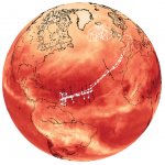 All Research Flights completed as part of the NARVAL I Campaign, image credited to Klepp et al. (2014)
Over the course of the entire campaign there were 15 research flights were completed using the High Altitude Long range aircraft (HALO). Some of the observations recorded during these flights include radar, lidar, radiometers, optical spectrometers, and dropsondes (Klepp et al., 2014).
Large Eddy Simulations (LES) are being completed, using the Dutch Atmospheric Large Eddy Simulation (DALES), for some of the NARVAL South Campaign flights. During this part of the campaign there were 8 research flights. Many of these were local flights from Barbados and had a flight track reaching approximately half way across the Atlantic. The remaining flights were to and from Oberpfaffenhofen (Klepp et al.,2014).
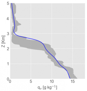
Currently simulations are focusing on Research Flight 4 which took place on December 14th 2013, the main reason for this is due to the presence of an elevated moisture layer during the flight. During this flight there were 11 dropsondes launched. The LES are being run for the region around each dropsonde launch position. These simulations include the dropsonde profiles in the LES input files, so the LES is being nudged towards the observed state.
Some preliminary results of the simulations include thermodynamic profiles, and time-series plots. Additional comparisons with observations will be completed.

Comparison between Control LES (navy), LES nudged towards observations (light blue), and Dropsonde Observations (green)
Klepp, C., F. Ament, S. Bakan, L. Hirsch & B. Stevens (2014) NARVAL Campaign Report, Reports on Earth System Science
EUREC4A
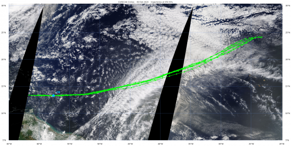
The international EUREC4A campaign took place in February-March 2020 in the Caribbean, in an area east of Barbados. One of the main goals is to probe the subtropical marine Trade wind boundary layer with state-of-the-art instrumentation, including fast-flying high-altitude aircraft (HALO) and slower low-altitude aircraft (the ATR), research vessels, sensors at the BCO site at Barbados, and satellite images. A particular meteorological focus is to detect and understand mesoscale cloud patterns. Part of this is an effort to reliably estimate the large scale conditions in which these patterns form, including subsidence, pressure gradients and advection. To this purpose HALO flew mesoscale circles.
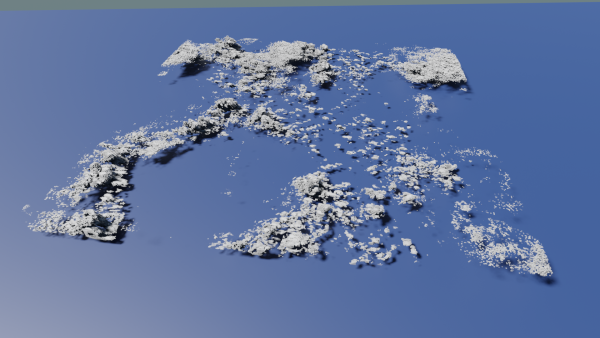
To accompany the measurements we configured and conducted Lagrangian LES experiments on a selection of days. Each trajectory intersects with one of the mesoscale circles. Some first (preliminary) results are posted below.
Arctic campaigns: PASCAL, ACLOUD, MOSAiC
<to be filled in>
- PASCAL
- ACLOUD
- MOSAiC
- MOSAiC-ACA
- HALO-(AC)^3
SOCLES at JOYCE
<to be filled in>
