Table of Contents
Iquique - CRC 1211
Scientific Goals
The Atacama desert (Chile) is one of the driest regions on earth with places receiving no precipation for years. It is considered to be one of the oldest deserts on earth. The collaborative research center SFB1211 'Earth Evolution at the Dry Limit' aims to investigate different aspects of landscape, and life evolution under this extreme conditions. The site in Iquique is funded within subproject A1 'Modern and past climate: Investigation of atmospheric water supply to the Atacama desert (Chile) from combined in-situ, ground-based and satellite remote sensing observations'. It consist of three state of the art remote sensing instruments
The Atacama is formed by a plateau at about 1000m above sea level between a coastal mountain range along the pacific to the west and the Andes mountains to the east. The coastal mountain range drops at most places in a cliff to the towards the pacific ocean shoreline. As the plateau lies just above the same height as the stratus cloud deck of the eastern Pacific these clouds form as fog the main source of water along this cliff, and at certain pathways also into the Atacama. With the instruments at the site it will be tried to characterize the clouds at the coast for one year. They will provide cloud base and top height, liquid water content, vertical and horizontal wind, temperature and humidity. Based on this data it will be possible to provide information on the occurrence of fog in the past and under future climate conditions.
Location
The site is located in the North of Chile between the Pazific Ocean and the Atacama desert on the grounds of Iquique airport.
- Latitude: 20.5394440 S = 20°32'22“ S
- Longitude: 70.1772694 W = 70°10'38” W
- Altitutde: 56m AMSL
- active from 23/03/2018 – 06/03/2019

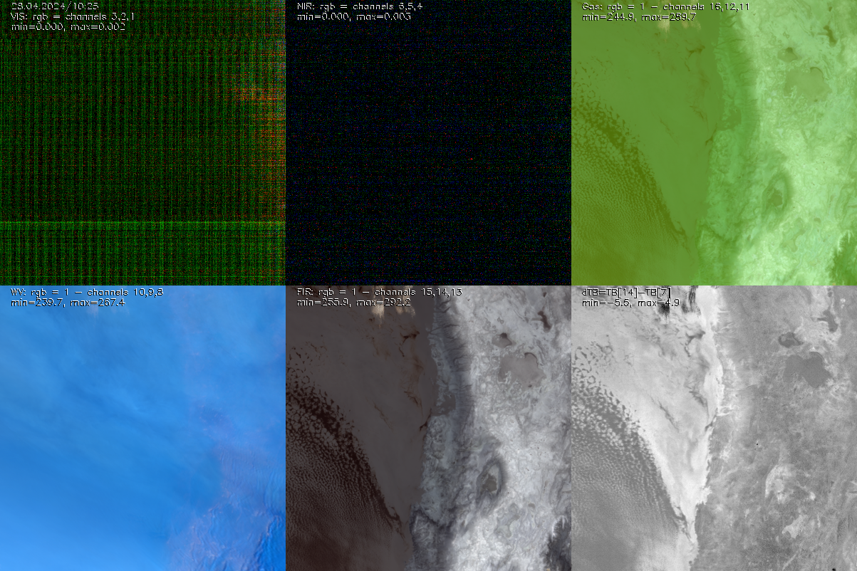
 Joyrad94, Windlidar (provided by FMI), FOGHAT; Photo by Mario Mech")
Left: view over the site to the NE prior to installation with coastal cliff in the background. Right: The site with (from left to rigth) cloud radar Joyrad94 , windlidar Halo Streamline (provided by FMI), Microwave radiometer FOGHAT.
Instruments
- Halo Doppler Windlidar . The instrument is provided by the finish meteorological institute (FMI, thanks to Heikki Lihavainen and Anne Hirsikko), but at JOYCE is running a similar instrument.
Product examples
| Single Instrument retrievals | ||
|---|---|---|
| Wind Lidar | Microwave Radiometer | Cloud Radar |
 and aerosol backscatter (color)") |  |  |
| Horizontal wind (arrows) and aerosol backscatter (color) | ambient temperature and humidity, IWV and LWP | Reflectivity, doppler speed and other parameters from Cloudradar JOYRAD94 |
| Synergetic retrievals | |
|---|---|
| Cloudnet | BL-classification |
 |  |
Click on plots to see more plots of the respective instruments in our databrowser, or use this link to get all plots together.
Data
Part of the Data is available at the CRC1211, 'Earth evolution at the Dry limit' data base website:
- …
Results from the Cloudnet retrieval are availlable at the cloudnet website:
- select show all
- in world map click on Iququique marker (west coast south america, red)
- select data range in 28.3.2018 - 9.3.2019
- …