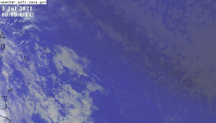
Barbados as seen from GOES16
move your mouse over the the image
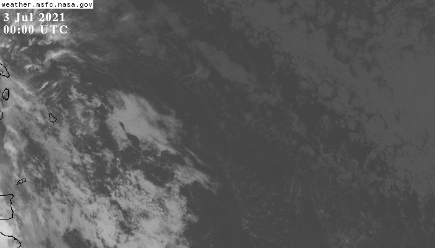
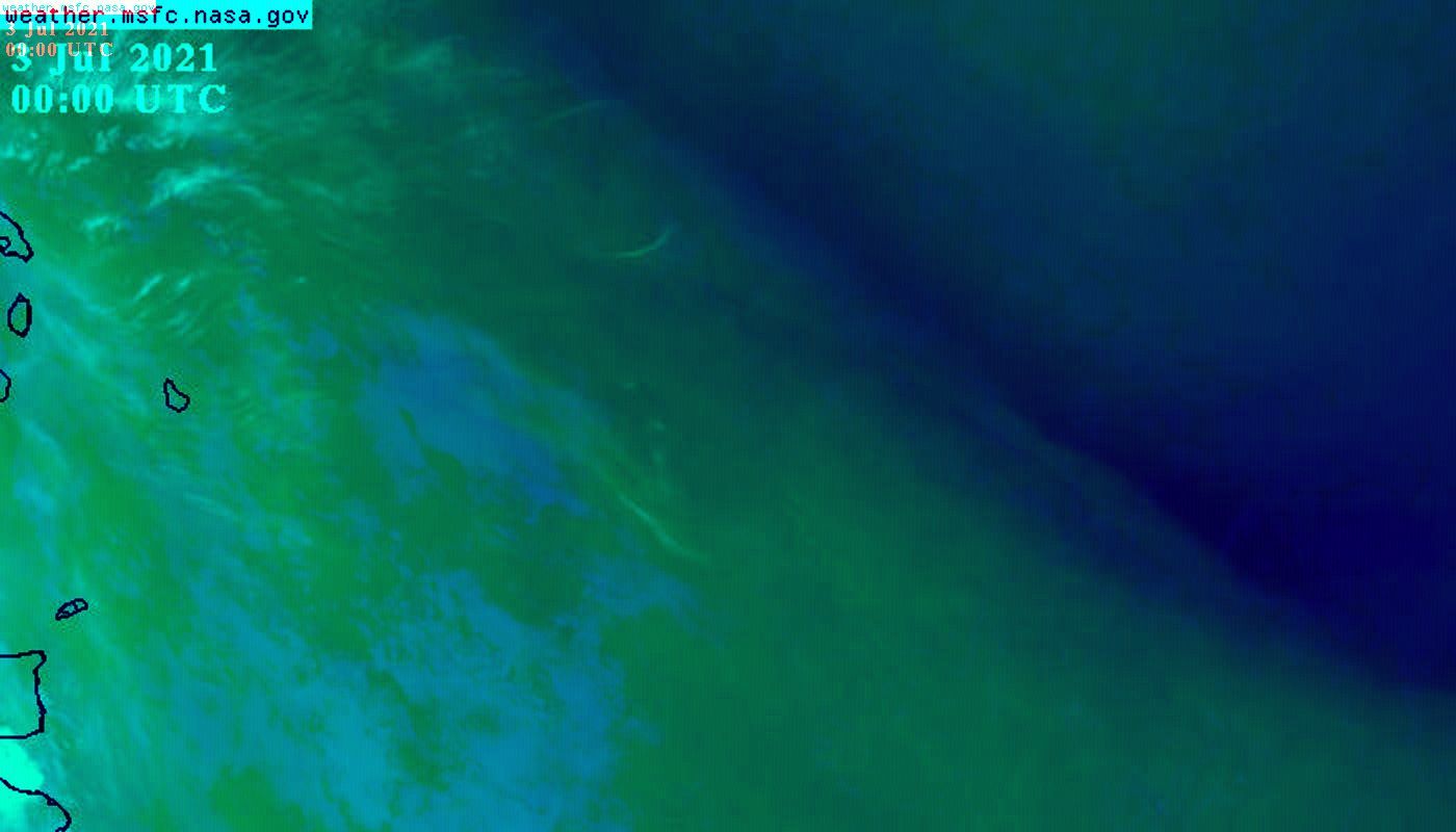
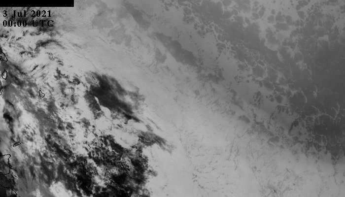
Images from visible channel (640nm) of (ABI) on GOES-16.
They are centered at 13N, 54W covering roughly 47-61W and 9-17N,
and have a resolution of ~1km/pixel, w*h=~1400x800km.
Images were downloaded with API calls as described on this page.
During the EUREC4A campaign different platforms are in the Region:
Research vessels Meteor, Ron.Brown, M.S.Merian and L'Atalante.
Research aricrafts DLR-HALO, NOAA P3, BAS Twin-Otter, French ATR-42, ...
see also

passage of Hurricane Maria in 2017

passage of Hurricane Elsa in 2021
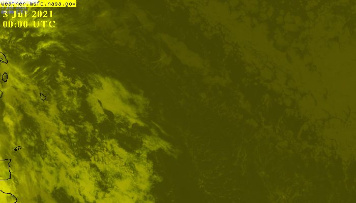
RGB image with red, green, blue = VIS(IR during night), WV*, IR
Click on image to see an animation.
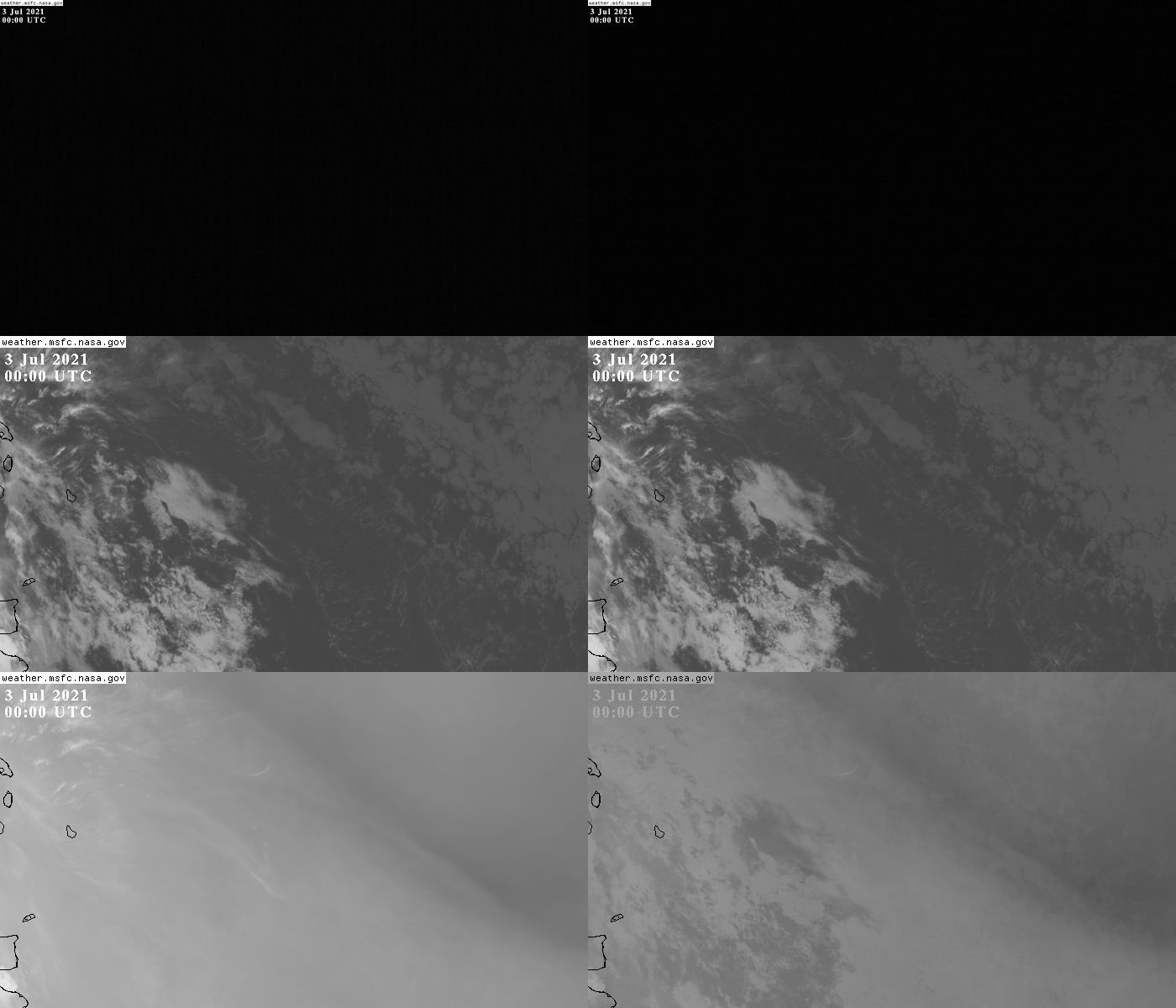
Channels 2 (VIS), 5 (NIR), 14 (IR), 13 (FIR), WV (8) and |IR/3-WV|.
(from top left to bottom right).
See ABI instrument description for details about channels.
RGB image from IR channels with red, green, blue = FIR, IR, NIR.
RGB image from VIS and NIR with red, green, blue = NIR, VIS, VIS.

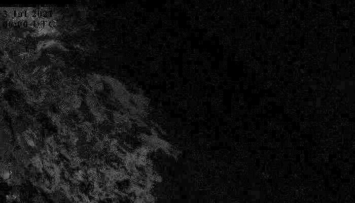
Difference IR - FIR (contrast enhanced)
Difference WV - IR (contrast enhanced)