Snow in the Atacama August 19, 2026

Current Satellite images of the Atacama for the SFB 1211 'Earth evolution at the Dry Limit'.
(c) Jan Schween
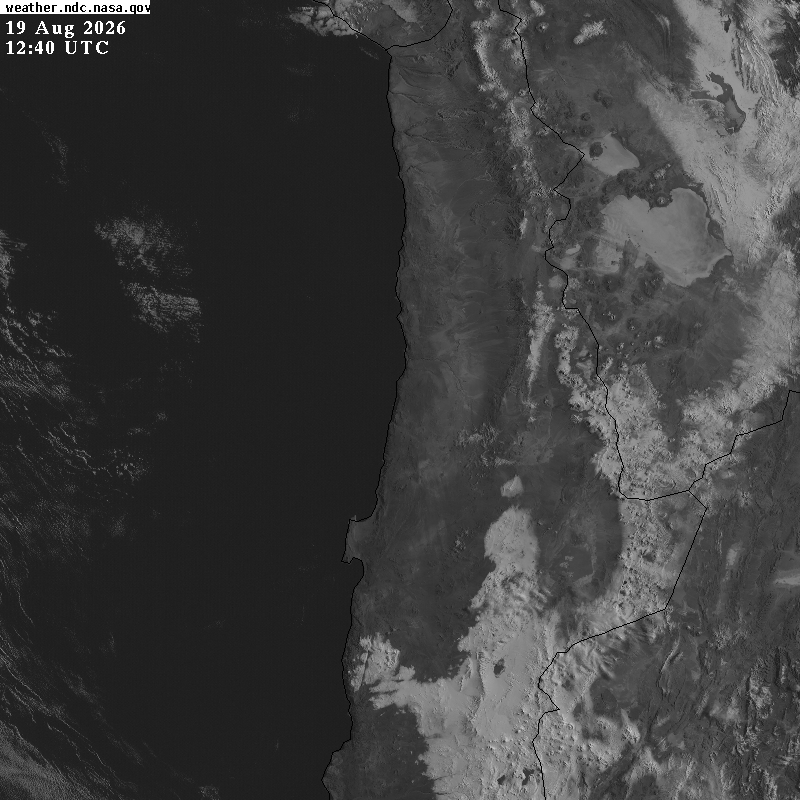
Images from visible channel (640nm, 1km) of the advanced baseline imager (ABI) on GOES-16 of the last ~40h.
Images are centered at 70.0°W,21.9°S (Cerro Tolar), cover roughly 800x800km and show the Atacama and coast of northern Chile.
Images are taken every 15minutes and have a resolution of 1km, nighttime images are excluded.
They were downloaded from these Mashall Spaceflight Center web pages with API calls as described on this web page.
See also Atacama now.
See also our data browser for sat images, or meteo data (1), meteo data (2), from the CRC1211 meteo station network.
GOES vis and IR
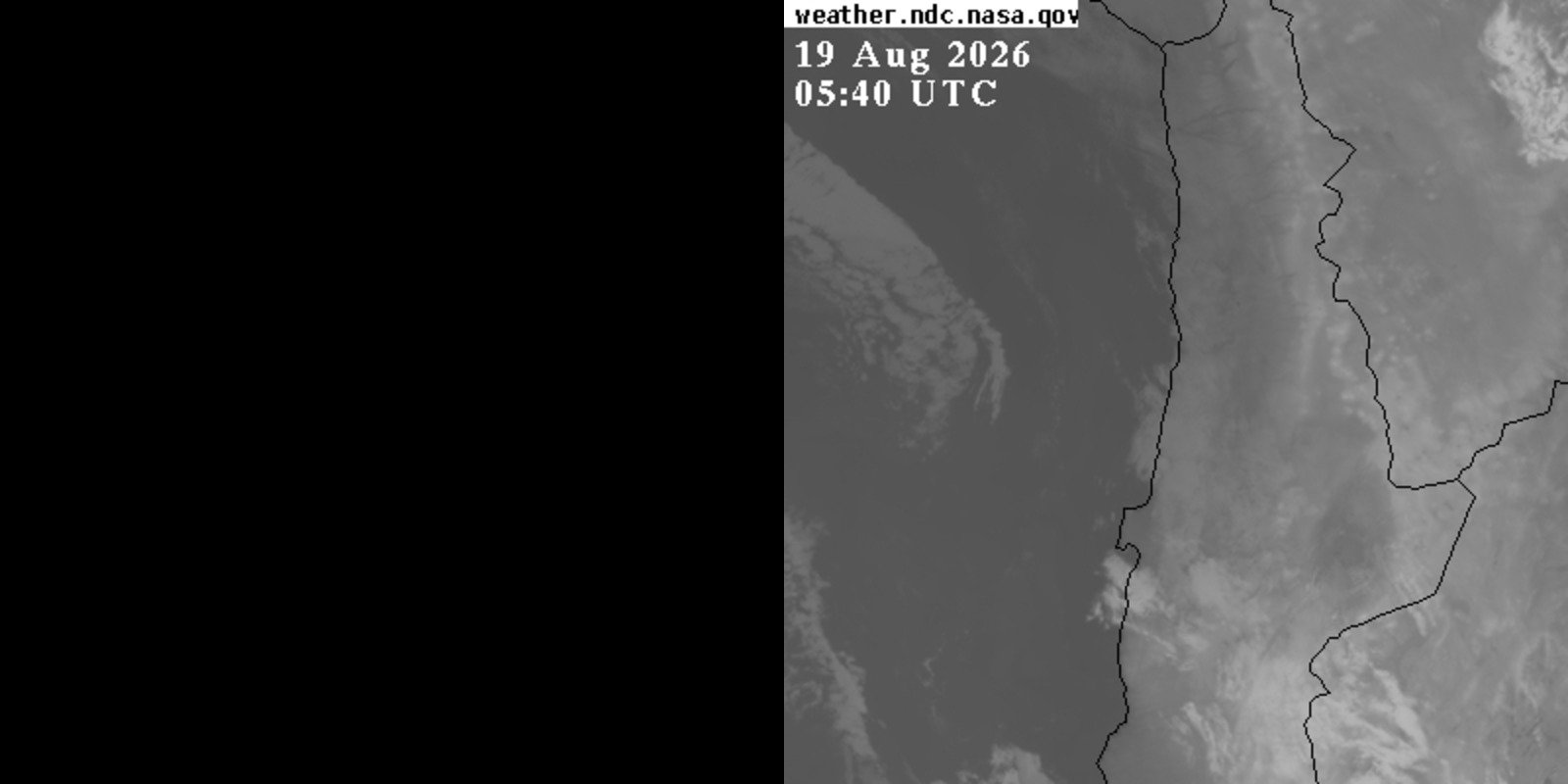
Composite with visible (left, 640nm, 1km) and IR-channel (right, 11.2μm, 2km).
Click on image to see an animation including also nighttime images.