Atacama 30.9.-1.10.2018
move your mouse over the image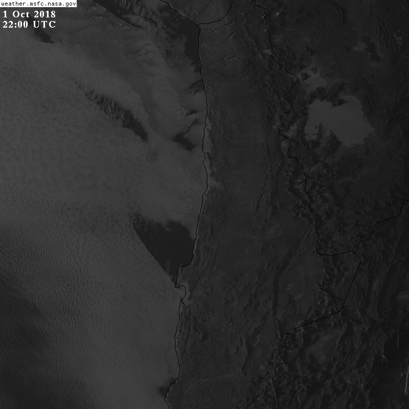
Latest images from visible channel (640nm, 1km) of the advanced baseline imager (ABI) on GOES-16 of the last ~40h.
They are centered at 70.0°W,21.9°S (Cerro Tolar), showing the Atacama and coast of northern Chile.
Images are taken every 15minutes and have a resolution of 1km, nighttime images are excluded.
They were downloaded with API calls as described on this page.
See current vis (band 2, 0.64μm), ir (band 14, 11.2μm), wv (band 8, 6.19μm). (band 5, 1.61μm). (band 13, 10.35μm).
See also 3.7.2017 (first test) or 6.11.2017 (fog far inland) or 30.1.2018 (cold air from cb)
See also current remote sensing data from our wind lidar and cloud radar at Iquique Airport,
or recent sat images or meteo data and remote sensing data from Iquique airport in our quicklook browser.
GOES multi channel

RGB composits from GOES16 data.
Top left: visible channels, top right: near infrared channels,
bottom left: far infrared channels, bottom right: brightness temperature difference of channels 14 and 7.
Click on image to see an animation including also nighttime images.
GOES vis and IR
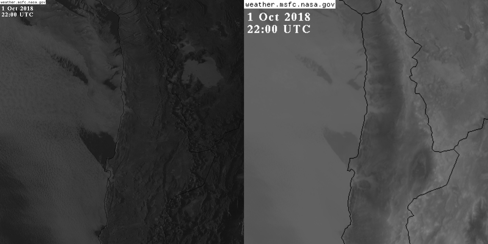
Composite with current visible (left, 640nm, 1km) and IR-channel (right, 11.2μm, 2km).
Click on image to see an animation including also nighttime images.
Wind from GOES VIS

Wind vectors derived from subsequent vis-images. Click on image to see an animation.
Radiosonde Antofagasta
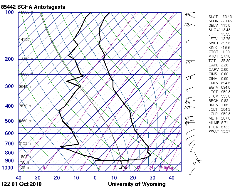
Latest Radiosonde launched 12UTC at Antofagasta. Plot from University of Wyoming
See also the surface station data there, also as meteogram.

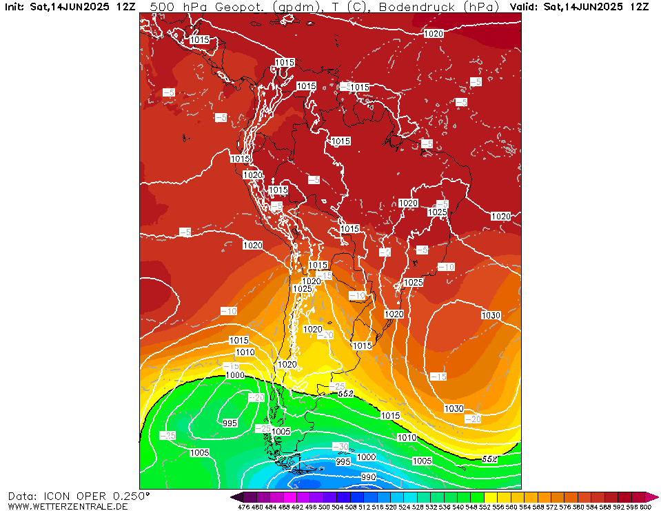
Plot from wetteronline.de
Airport Web cams
Webcams at Iquique Airport
Webcams at Antofagasta Airport

Webcams at Arica Airport

Webcams at Calama Airport

Current weather forecast
Current SST
