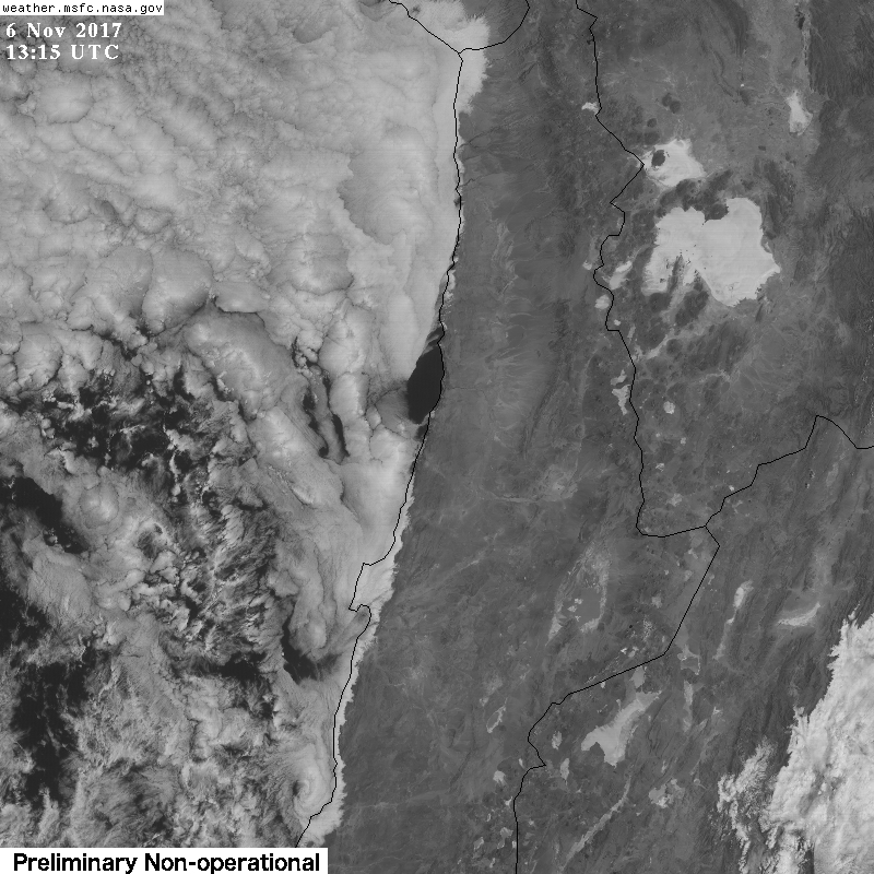
Atacama 6.11.2017
move your mouse over the image
Latest images from visible channel (640nm, 1km) of the advanced baseline imager (ABI) on GOES-16 of the last ~40h.
They are centered at 70.0°W,21.9°S (Cerro Tolar), showing the Atacama and coast of northern Chile.
Images are taken every 15minutes and have a resolution of 1km, nighttime images are excluded.
They were downloaded with API calls as described on this page.
See also 3.7.2017 (first test)
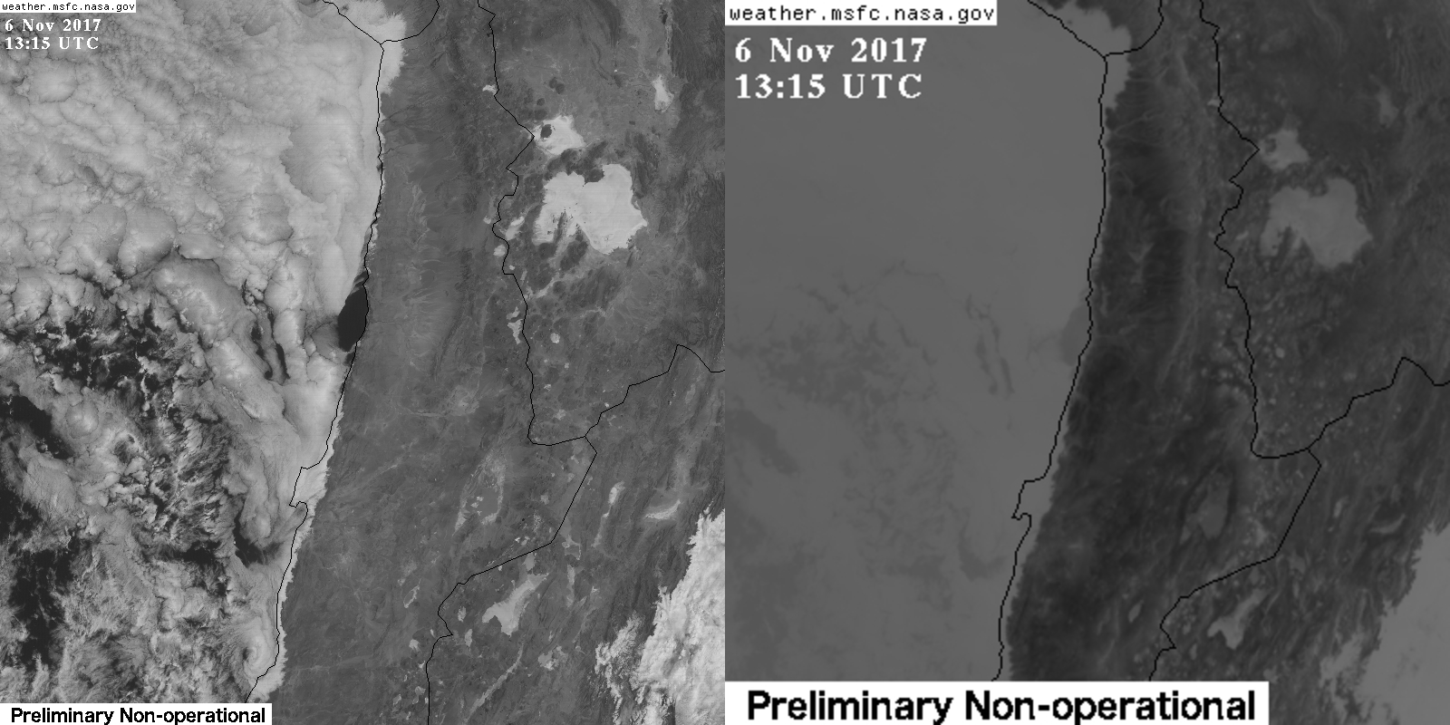
Composite with current visible (left, 640nm, 1km) and IR-channel (right, 11.2μm, 2km).
Click on image to see an animation including also nighttime images.
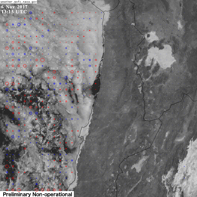
Wind vectors derived from subsequent vis-images. Click on image to see an animation.

Latest Radiosonde launched 12UTC at Antofagasta. Plot from University of Wyoming
See also the surface station data there, also as meteogram.
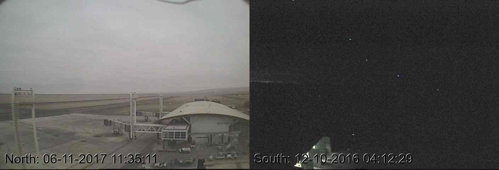
Airport Web cams
Webcams at Iquique Airport
Webcams at Antofagasta Airport
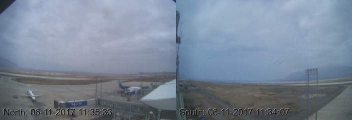
Webcams at Arica Airport
Webcams at Calama Airport
